
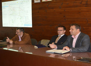
Medvedja – The first phase of training of employees of the Medvedja municipal self-government to use the Geographic Information Systems (GIS) started at the assembly hall of the municipality of Medvedja.
 Medvedja – The first phase of training of employees of the Medvedja municipal self-government to use the Geographic Information Systems (GIS) started at the assembly hall of the municipality of Medvedja.
The training was financially supported by the OSCE Mission to Serbia, which, apart from the said project, helped the municipality of Medvedja with several other projects that are currently in progress.
Giacomo Bosisio, the Head of the OSCE Office in Bujanovac, thanked, on behalf of Andrea Orizio, the Head of the OSCE Mission to Serbia, and on his own behalf, all the participants in the training for their attendance and attention and wished that they successfully completed the training on the project and obtained work certificates.
“This idea has been put into practice thanks to your municipal administration, the head of your administration and your mayor. Training for the GIS project is a step towards providing a safer and more peaceful environment, which is our major mission" said Giacomo Bosisio, the Head of the OSCE Office in Bujanovac.
Mayor Nebojsa Arsic thanked the OSCE for the assistance and financial support, given that the aforementioned project is very important for the local self-government, the employees who work on property management, and for end users, for whom it will be easier to obtain the necessary information and access the digitized geo-referenced maps.
The GIS project will ensure timely updating and easier access to the data on property of the municipality and local tax administration, as well as new on-line services to the citizens.
The Geographic Information System is a digitized database in the form of maps, in which space-related data on the municipal infrastructure and natural resources are stored, while its goal is to increase efficiency and reduce administration costs, as well as to enable better and faster decision-making.
Source: South Serbia Journal and Coordination Body